According to a recent research, in the coming years, the global growth of this segment will exceed 11% per year. Climate change, environmental protection, disaster monitoring – these are only a few of many areas where satellite imaging is used. As the technology develops, the quality of images is constantly improving and the cost of getting them is falling, analysts predict a dynamic growth of this segment in the years to come.
The analyses by the Allied Market Research show that the global importance of satellite images for commercial purposes is growing rapidly. Especially as the public administration has become a full and significant player on the market, purchasing services and solutions based on satellite images from private companies. According to the forecast covering the period up to 2026, this market will grow by an average of 11.2% a year and is expected to reach $5.25 billion.
The market is focused on data processing
The information provided by satellite imagery helps strengthen defence operations and provide security services at national and global levels. Satellite imaging already provides data on the chemical, physical and biological properties of the planet. This information is widely used by researchers and scientists and it is becoming more and more popular with companies producing various types of IT applications.
They all need high quality, accurate and up-to-date Earth imaging products. The market is driven mainly by advances in satellite imagery analysis, the development of Artificial Intelligence (AI) using large datasets and the growing participation of the private sector.
"The wide range of applications for orbiting images is becoming more and more popular with many players from various branches, such as the high-tech sector. Collecting satellite data is only the beginning of the whole process chain.
In order to store, process and use it, you need advanced IT solutions such as professional and properly secured cloud infrastructure or professional software," says Przemyslaw Mujta, Sales Support Director at CloudFerro, a provider of cutting-edge cloud computing services.
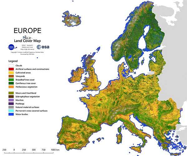
The company has built and provides cloud computing services for two out of five European Copernicus DIAS (Data and Information Access Services) platforms with satellite images – CREODIAS and WEkEO, and the German CODE-DE platform.
Industry 4.0
The fourth industrial revolution also has a positive impact on the development of the satellite imagery sector. The expansion of Industry 4.0, promoting change in production processes and the switch from analogue to digital, provides better performance, productivity and quality, while offering a huge growth potential for many satellite companies, equipment manufacturers and application developers.
Satellite imagery is very effective in commercial uses, such as selection of construction sites, analysing surrounding areas, route planning, monitoring of infrastructure projects or 3D modelling of excavations. Thanks to the appearance of new technologies, including remote sensing and LIDAR, these capabilities are constantly growing.
New sales channels
Businesses and institutions that rely on satellite imagery are increasingly using a new model for providing this data – "satellite as a service" (SataaS). It is based on a pay-as-you-go system, where users pay only for the information they consume. This gives you flexibility and easy access to satellite data. Thanks to this, even small and medium sized companies can use high quality images, basing their business development on this.
"As the demand for very high resolution (VHR) images is growing, we are expanding the CREODIAS platform offer. This year we have started the cooperation with three VHR image providers – Chinese CG Satellite, Kazakhstan Gharysh Sapary Space Technologies and Korean KOMPSAT. CREODIAS users now have access to static and video images in great quality, with a resolution of up to 50 cm, which opens up huge research possibilities," added CloudFerro representative.
Satellite imagery for all
"The information we get from satellites allows us to know the precise, current situation on Earth. It is a huge help in situations such as earthquakes, landslides, tsunamis and volcanic eruptions that destroy infrastructure.
Therefore, the greatest increase in the use of satellite data is expected in the coming years for disaster response, monitoring and management of energy and natural resources. Another area where the use of satellite imagery is growing rapidly is agricultural monitoring," explains Przemyslaw Mujta.
According to the report, today the strongest driver of development of this segment is the need to research and monitor the Earth's resources and environmental protection. Other areas where the use of satellite data is increasing include urban planning and development, crisis management, energy and natural resources management, surveillance and security, as well as defence and intelligence. All these sectors will generate an increasing need for specialised satellite data and solutions.
The development of the satellite image-based services sector is driven by projects like the European Earth observation Copernicus programme operating under the supervision of the European Commission. The programme, apart from providing support to the European administration and individual countries, aims at stimulating the development of European companies.
Sharing the data collected under the Copernicus programme allows the companies to use it widely and to develop specialised products and services. The source of satellite products, such as the CREODIAS platform, can be a strong driver of growth for many companies from various fields.
