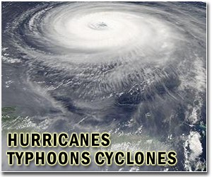
Adrian, the first Pacific hurricane of the 2011 season, was downgraded to a category one storm early Saturday, and was expected to dissipate rapidly and remain offshore, the US weather agency said.
The National Weather Service said Adrian's winds had dropped to 85 miles (140 kilometers) per hour.
The storm was moving at 12 miles (19 kilometers) per hour toward the west, and was about 495 miles (795 kilometers) south of the southern tip of Baja California on Mexico's west coast.
"A general motion toward the west-northwest and a decrease in forward speed are expected during the next 48 hours," the NHC said.
"Additional rapid weakening is forecast, and Adrian is expected to weaken to a tropical storm later today and to a tropical depression Sunday night or Monday morning."
It had categorized Adrian as a category four storm on the five-point Saffir-Simpson scale earlier this week.
"Large swells generated by Adrian will continue to affect a portion of the southwestern coast of Mexico through at least early this weekend," the NHC said, warning that "these swells could cause life-threatening surf and rip currents."
The hurricane season, which started on June 1 and runs until November 30, will feature atmospheric conditions that experts predict will lead to the formation of 12 to 18 named tropical storms in the Atlantic zone, of which six to 10 could become hurricanes.
The US National Oceanic and Atmospheric Administration forecasts an elevated threat this year to the United States and Caribbean nations, and predicts between three and six major storms of category three intensity or higher.
