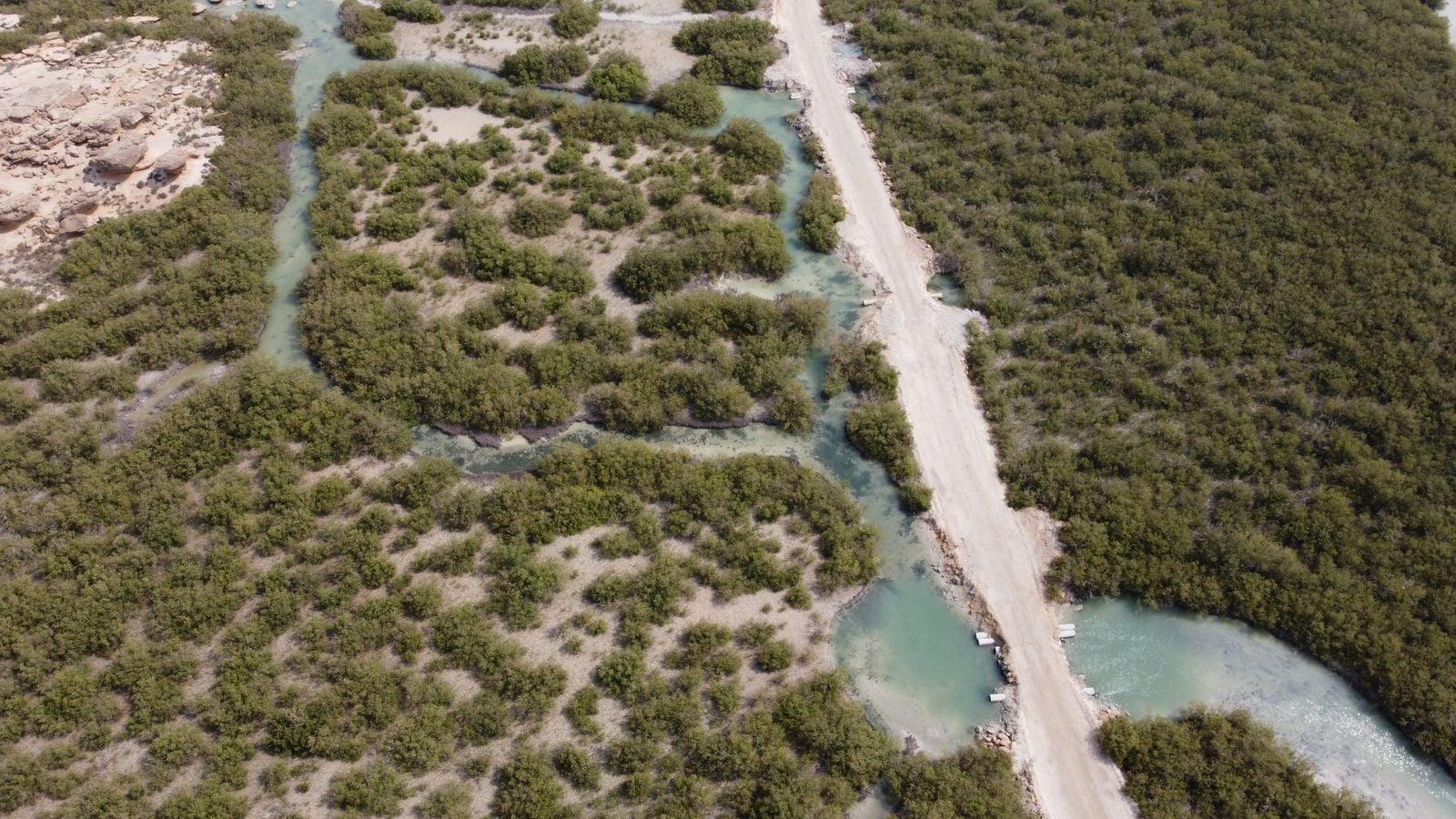
Bangladesh lost about 138,000 people in the cyclone of 29 April 1991 and recorded 3,406 deaths when Cyclone Sidr struck in November 2007. It cut the toll through a layered defence: the Cyclone Preparedness Programme and earlier warnings, volunteer-led evacuation, expanded cyclone shelters, embankments, and a coastal afforestation effort begun in 1966 and later extended through the Coastal Greenbelt Project. The forests mattered, but the public record does not support assigning them most of the credit or calculating an exact number of lives they saved.
The two storms were comparable in broad wind intensity, but they were not a controlled before-and-after test. The 1991 cyclone struck the southeast near Chittagong, while Sidr struck the southwest with the Sundarbans in its path, and their tracks, surges and exposed populations differed. A peer-reviewed study of Sidr’s lower mortality placed timely forecasting, warning and evacuation at the centre of the explanation.
The night the surge found no safe exit
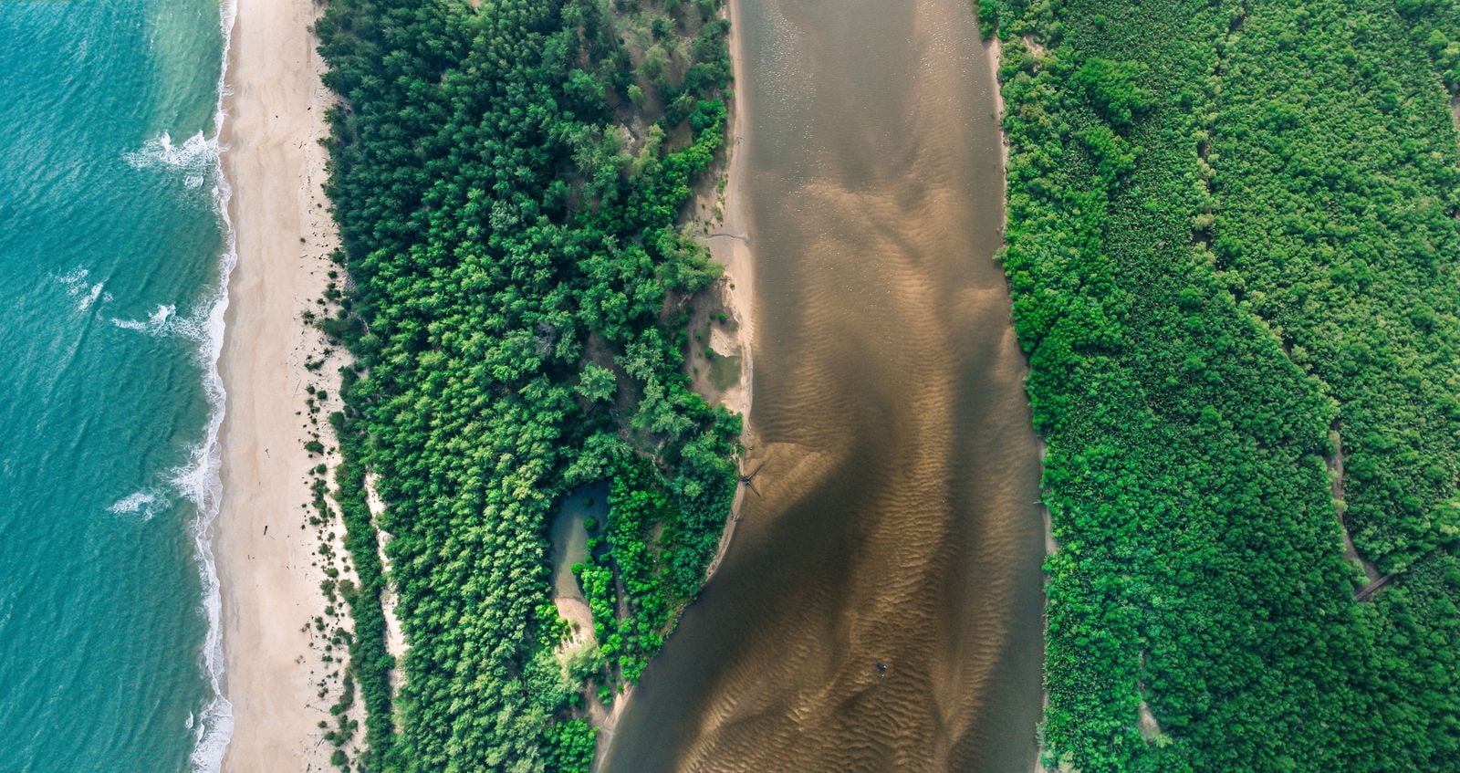
On 29 April 1991, a super cyclonic storm crossed the southeastern coast near Chittagong. A World Bank evaluation records winds of about 225 kilometres per hour and a surge of six to eight metres. Water swept across offshore islands and low coastal settlements, turning weak houses and flat ground into traps.
The disaster was not caused by wind alone. In a delta only a few metres above sea level, water driven north from the Bay of Bengal can spread across islands, fields and settlements before people have time to reach high ground. The Ganges, Brahmaputra and Meghna river system has built an enormous fan of sediment, but much of that land offers little natural elevation when a surge arrives.
The mortality study conducted after the storm found that access to strong shelter changed the odds dramatically. Nearly 22 percent of the people surveyed who did not reach a concrete or brick structure died, while everyone in the survey who reached one survived. The warning existed, but it did not move enough people into safe structures before landfall.
That distinction matters because the 1991 coast was not entirely undefended. Bangladesh already had embankments, some cyclone shelters and an established coastal planting programme. What failed was the reach and performance of the whole system: warning, trust, transport, shelter capacity, protective earthworks and natural buffers.
A green belt that began before 1991
Bangladesh did not begin planting its coast in response to the 1991 cyclone. The Forest Department’s coastal afforestation programme began in 1966, initially using pioneer mangroves such as Sonneratia apetala on newly deposited silt. By the time the 1991 storm arrived, the effort was already a quarter of a century old.
The work took place on chars, the shifting islands and mudflats formed as river sediment settles near the coast. Mangrove roots trap more sediment, stabilise some of that young land and create habitat as the trees mature. Planting there is difficult because currents, erosion, salinity, grazing and storms can destroy seedlings before a belt becomes established.
After 1991, planting was folded into a larger set of coastal-protection projects. The Forest Resources Management Project, the Coastal Greenbelt Project and embankment rehabilitation overlapped across parts of the coast, each with different agencies, budgets and objectives. The result was not one centrally built wall, and the surviving record does not allow every planted hectare or avoided death to be assigned to one programme.
The barrier also includes forest that no modern project planted. The Sundarbans is the world’s largest contiguous mangrove forest, shared by Bangladesh and India, and it operates on a scale that young plantation strips do not. Bangladesh’s coastal defence is therefore a mosaic of natural forest, planted belts, embankments, settlements and open channels.
What mangroves can and cannot stop
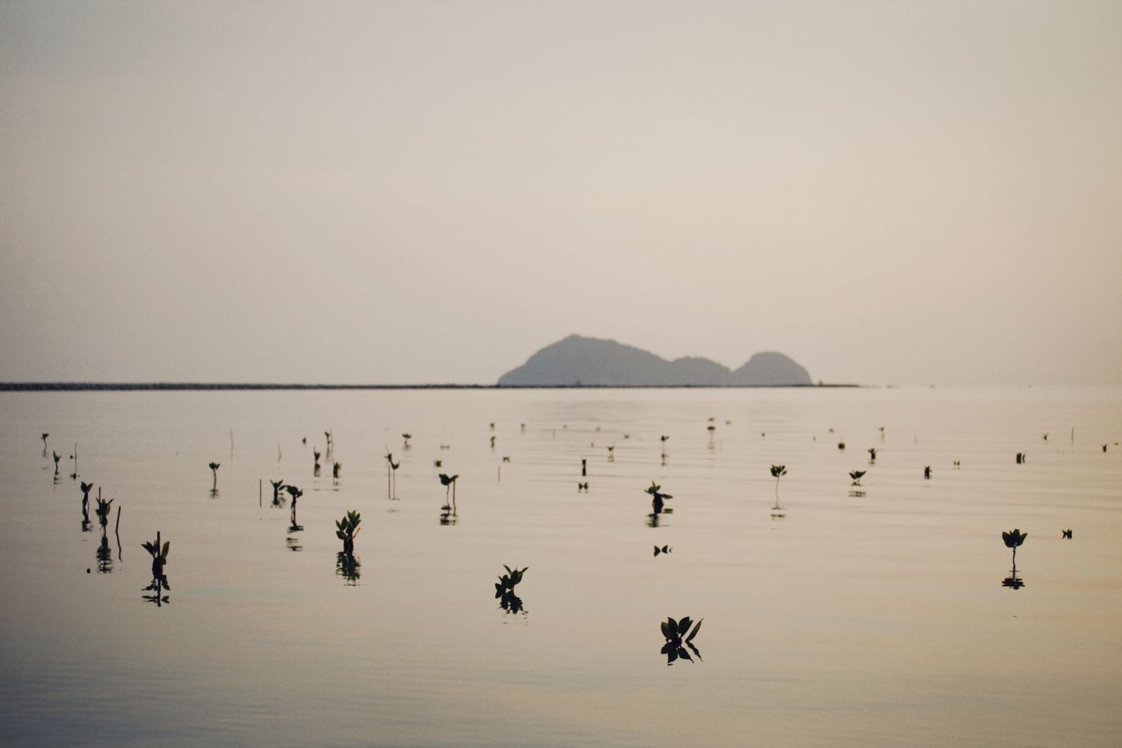
Mangroves create drag. Trunks, branches and roots obstruct moving water, dissipate wave energy and reduce the force reaching the land behind them. Research on mangrove protection along the Bangladesh coast shows that the result depends on forest width, tree density, species, water depth and the shape of the seabed.
In the study’s modelled sites, mangrove configurations reduced surge height by roughly four to 16.5 centimetres and water-flow velocity by 29 to 92 percent. That contrast is important: the trees can slow moving water sharply without making a deep storm surge disappear. Their value is often greatest in reducing erosion, wave load and the chance that an embankment will fail.
The strongest design therefore combines green and grey infrastructure. A forest in front of an embankment can take energy out of waves before they strike the earthwork, while the embankment blocks water the trees could not stop. Shelters then protect people if both layers are overtopped or damaged.
There is no scientifically defensible conversion from a certain width of mangrove to a certain number of lives saved. The same forest can perform differently depending on storm direction, tide, channel geometry and maintenance. One major project evaluation explicitly noted that it had made no attempt to quantify lives saved by its interventions.
Why Sidr’s toll was 3,406
Cyclone Sidr reached the southwest coast on 15 November 2007 with winds reported at up to 240 kilometres per hour. The official post-disaster assessment recorded 3,406 deaths, 1,001 people still missing at the time of reporting, more than 55,000 injuries and widespread damage across coastal districts. The toll was terrible, but far below the mortality of 1991.
The official assessment did not identify a single cause for that difference. It credited improved forecasting and warning, coastal afforestation, cyclone shelters and embankments. Researchers who examined household behaviour after Sidr also emphasised that more people received actionable warnings and evacuated before the surge arrived.
Bangladesh had spent the intervening years expanding places of refuge and the routes leading to them. The country’s modern shelter network includes multipurpose buildings, raised access roads and community systems designed to move people before landfall. Volunteers, loudspeakers, radio, mobile phones and local officials turn a forecast into a physical evacuation.
The Sundarbans also lay in Sidr’s path and suffered extensive damage. Its trees could damp waves and water flow locally and reduce pressure on some communities behind the forest, but no credible assessment isolates that effect as the main reason the death toll fell. Sidr shows the value of several defences working together, not an experiment in which trees alone account for the difference.
A coast built from green and grey
Bangladesh’s current model is deliberately layered. Coastal resilience projects combine shelters, polders, roads, warning systems and nature-based protection rather than forcing a choice between concrete and trees. Each layer covers a failure mode in the others.
Survival is only the first stage of resilience, because storms also cut power to clinics, communications and water pumps. Solar Daily has reported on how microgrids and solar can reduce outage risk and how interconnected grids could stabilise island power during hurricanes. Those systems do not stop a surge, but they can help treatment, clean water and communications return after landfall.
Even a successful evacuation does not prevent crops from being salted, houses from being destroyed or families from losing months of income. The 2007 assessment estimated damage and losses from Sidr at about US$1.7 billion. A lower death toll is the clearest measure of progress, but it is not the same as an undamaged coast.
The next wall has to keep growing
The forested layer is under constant pressure. Salinity, erosion, altered sediment flows, aquaculture, settlement and rising relative sea level can kill mature trees or prevent young belts from moving inland. A line of seedlings on an exposed char is not yet a functioning defence, and a plantation in the wrong tidal setting may disappear within a few seasons.
That makes maintenance as important as planting totals. Coastal managers must choose species for local salinity and elevation, protect young stands, leave room for natural migration and connect forest design to the embankment and settlement behind it. Counting planted seedlings is easier than measuring the width, density and survival of the belt that remains when a cyclone arrives.
At low tide on a new mudflat, rows of young Sonneratia may stand only knee-high. Their task is not to replace the siren, the volunteer, the evacuation road, the shelter or the embankment behind them. It is to take some force out of the water before all those other defences are tested again.