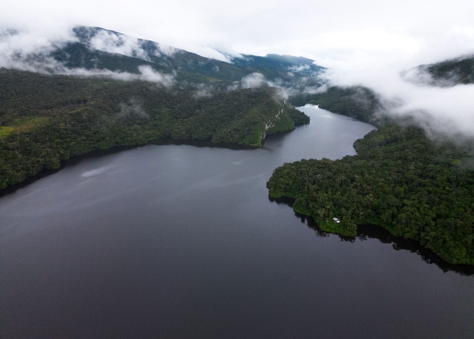
Roughly 6.4 kilometres of the Shanay-Timpishka river in east-central Peru run hot enough to cook a small animal that falls in. The water can climb past 90°C, and in the steamiest stretches it approaches the boil. No volcano sits within 700 kilometres of the bank. The heat comes from deep groundwater rising along a fault, surfacing through hot springs that feed the river until the whole channel steams like a kettle left on the stove.
Locals in the Mayantuyacu community have known the river for generations. The name Shanay-Timpishka roughly translates to boiled with the heat of the sun, and shamans in the surrounding Asháninka territory have long treated the river as sacred. Western science only arrived properly in the last decade, when geothermal scientist Andrés Ruzo mapped the temperatures and confirmed what the stories described. His measurements, later cited in a BBC Future investigation, put peak water temperatures above 90°C.
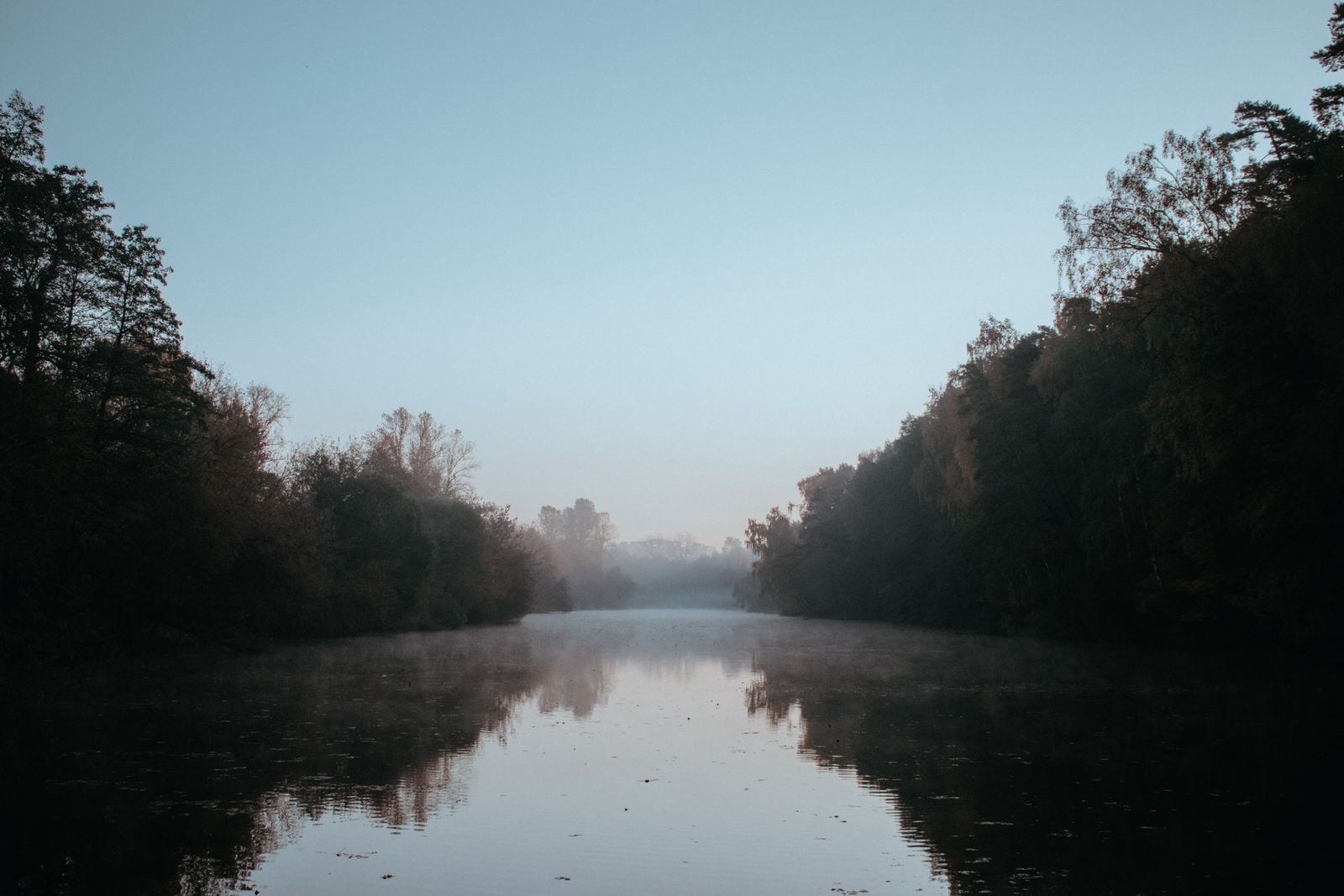
A river hot enough to cause third-degree burns in seconds
According to research published on Earth.com, Ruzo has warned that the river is hot enough to cause second or third-degree burns within seconds of contact. Small frogs and lizards that fall in cook almost immediately.
The river is not uniformly boiling along every metre. Cooler pools mix with scalding zones where hot springs enter the channel. The hottest patches read around 100°C at the surface. The average across the 6.4-kilometre hot stretch sits comfortably above the temperature of a hot cup of tea.
Steam rises off the surface thickly enough that, from the surrounding ridge, the river looks less like water than like a long, thin cloud lying on the forest floor.
Why there should not be a boiling river here
Geothermal features usually cluster near volcanoes or plate boundaries. Yellowstone sits on a hotspot. Iceland straddles the Mid-Atlantic Ridge. New Zealand’s geysers sit on the Pacific Ring of Fire. Shanay-Timpishka has no such neighbour. The nearest active volcanic system lies roughly 700 kilometres away, across the Andes.
That distance is what made the river seem improbable to geologists for decades. Ruzo himself grew up hearing the legend from his grandfather in Lima and initially assumed it was folklore. The river was already there, already hot, already known to locals, but it did not fit any standard geothermal model.
The mechanism turns out to be simpler than a magma chamber. Rainwater seeps into the sedimentary rock of the Amazon basin, travels down through cracks and porous layers, gets heated by the geothermal gradient of the deep crust, and then rises again where a fault gives it a way back to the surface. The fault acts as a chimney. The river sits on top.
Reporting in the Times of India notes the same fault-fed explanation. Water infiltrates, superheats at depth, and re-emerges as a system of hot springs that converge into one continuous scalding channel.
The plants that give up, and the ones that hang on
Recent fieldwork treated the river as a natural experiment: a strip of Amazon forest exposed to elevated temperatures without any of the other complications of climate change.
Temperature monitoring along stretches of the river revealed significantly elevated air temperatures near the hottest zones compared to cooler reference sites. In some areas, the air itself reached temperatures far exceeding typical rainforest conditions.
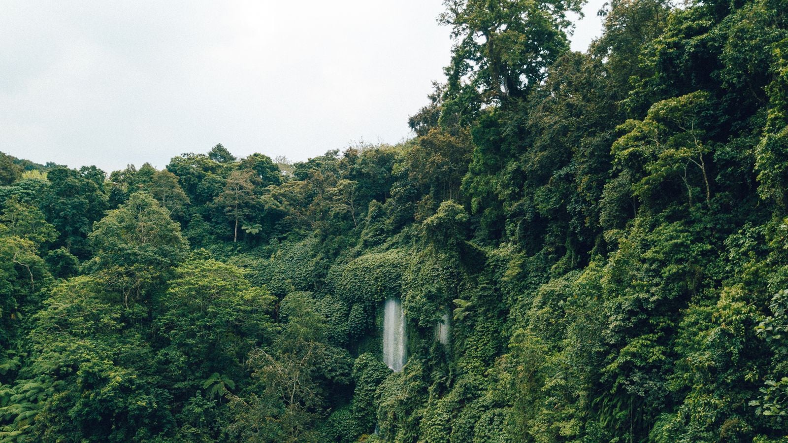
The vegetation told the story. Surveys documented significant declines in tree biodiversity as temperatures rose. Big canopy species thinned out. Scrubbier, more drought-tolerant plants moved in. The understorey dried out enough that the leaf litter crunched underfoot in a way it does not in the surrounding jungle.
Some giants held on. The pattern appeared to be less about size than about water strategy.
What the shamans knew first
The Asháninka and Asháninka-adjacent communities of Mayantuyacu have used the river medicinally and ceremonially for generations. Local healers host visitors at a small centre on the bank, and the river’s course is treated as a living entity in local cosmology. Whether shamans mapped the fault in a geological sense is a matter of interpretation. What is documented is that they knew the exact locations of the hottest springs, the coolest confluences, and the safe crossing points long before any petroleum surveyor arrived with an instrument.
Ruzo has repeatedly credited local guides with leading him to the specific bends where the water peaks past 90°C. The information transferred through oral tradition matches the modern temperature-logger data closely. In that sense, the fault was mapped functionally, if not on paper, well before instruments confirmed it.
A window into a warmer Amazon
The reason biologists keep returning to Shanay-Timpishka is that heating a forest experimentally is nearly impossible. You cannot install a heater under a hectare of rainforest. The river does it for free.
The concern is not academic. The Amazon is at risk of shifting from rainforest toward something closer to savannah if warming and deforestation continue on current trajectories. The Boiling River offers a small, extreme preview of what that transition might look like at the plot scale: fewer species, more homogeneous canopy, drier understorey, less shade.
Indigenous communities, who depend directly on biological resources, would be hit first and hardest by such a shift. Plants near the river appear heat-stressed even when water is abundant nearby, suggesting temperature alone, not drought, can knock down photosynthesis.
Why the river matters beyond its own bank
Shanay-Timpishka is the only documented boiling river of its scale outside a volcanic zone. The Congo is deeper. The Nile is longer. The Wharfe in Yorkshire is more treacherous. But none of them are heated from below by a fault feeding a full 6.4-kilometre channel to near-boiling. A summary of the world’s most dangerous rivers by the Times of India lists Shanay-Timpishka as the only boiling river on Earth.
The Boiling River sits in a family of edge cases: a place where the standard rulebook does not apply, and where the exception carries information the rule does not.
As Mental Floss noted in its account of the river, the water is not hot enough to boil consistently along its full length, but it is hot enough that swimming is never an option. Tourists who visit the Mayantuyacu centre are shown the river from wooden platforms. Guides carry sticks to test the depth of the hot springs, and shamans continue to lead the ceremonial protocols that governed access long before scientists arrived.
What happens next
Long-term monitoring of the river will show whether species composition continues to shift, whether the hottest zones expand or contract with rainfall patterns, and whether the drought-tolerant colonists of the bank spread further into the surrounding forest. The river’s value is that it cannot be replicated in a laboratory setting.
Deforestation in the wider Ucayali region is closing in on the site. Roads have pushed nearer. Logging concessions ring the reserve. If the surrounding canopy is cleared, the microclimate of the river valley will change even without further warming, because the atmospheric rivers of moisture that flow above intact Amazon forest depend on the trees themselves for evapotranspiration. Cut the trees and the sky dries out. The Boiling River would then be steaming into a hotter, drier air column than the one it steams into today.
For now, the river runs as it has for centuries. Steam curls up off the bends at dawn. Frogs and insects avoid the hottest pools. Guides walk the bank in rubber boots. Somewhere below the sedimentary rock, rainwater that fell on the Andean foothills years ago is still working its way down through the fault, warming as it goes, waiting to surface as the next plume of scalding water in a river that, by every rule of volcanic geography, should not exist.