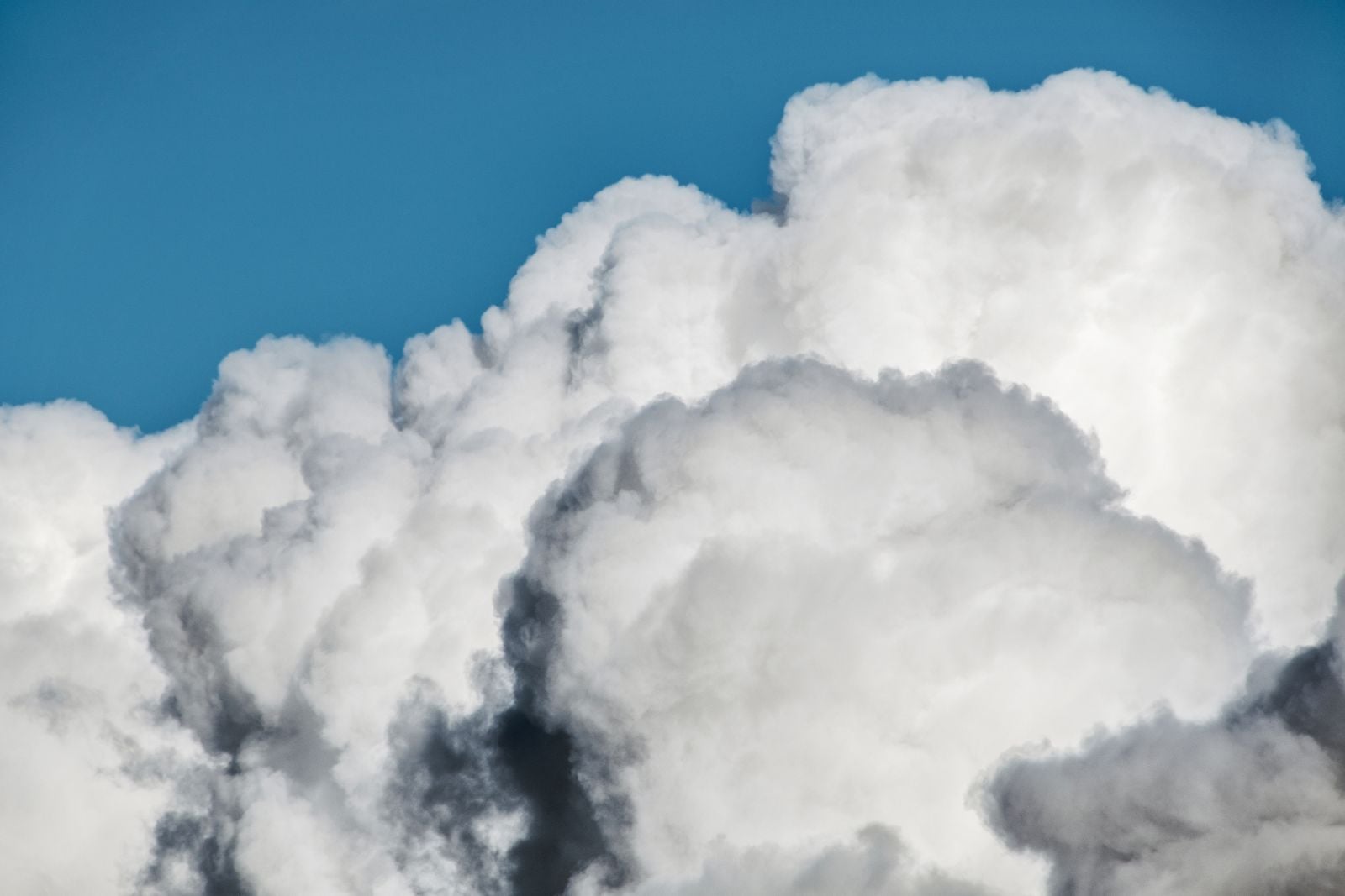
A fair-weather cumulus cloud can contain hundreds of tonnes of liquid water without looking heavy at all. Under a widely used model, a cloud roughly one kilometre on each side contains about 500,000 kilograms of water, or approximately 500 metric tonnes. That is close to the combined mass of 100 elephants if five tonnes is used as a rounded figure for each animal.
The cloud is not defying gravity, and it is not a rigid object floating like a balloon. Its water is divided among enormous numbers of microscopic droplets that fall very slowly, while warm, moist air rises through and around them. The cloud remains visible while condensation, evaporation, buoyancy, and air motion keep replacing and redistributing those droplets.
The elephant in the sky
The U.S. Geological Survey explains the familiar calculation using an estimated liquid-water content of 0.5 gram per cubic metre. A cubic kilometre contains one billion cubic metres, so multiplying those figures produces 500 million grams of water. That equals 500,000 kilograms, or roughly 500 metric tonnes.
This is an illustrative estimate, not a standard weight for every cloud. Real cumulus clouds vary enormously in width, depth, liquid-water content, and stage of development. The elephant comparison nevertheless captures the surprising scale of the water spread through a modest cloud volume.
Why warm, wet air rises
Buoyancy begins with a density difference. At the same pressure, warmer air is generally less dense than cooler air, and humid air is less dense than dry air at the same temperature because water vapour molecules are lighter than the nitrogen and oxygen molecules they replace. A water molecule has a molecular mass of 18, compared with 28 for nitrogen and 32 for oxygen.
That does not mean condensed water makes an air parcel lighter. Liquid droplets add weight, partly offsetting the buoyancy supplied by warmth and water vapour. Whether cloudy air continues rising depends on its temperature and moisture relative to the surrounding atmosphere, as well as the amount of condensed water it carries.
A fair-weather cumulus often begins when sunlight warms the ground and the air immediately above it. The buoyant air rises, expands as atmospheric pressure decreases, and cools until it reaches saturation. Water vapour then condenses onto microscopic aerosol particles, creating the visible droplets that mark the cloud base.
The droplets remain aloft because they are extremely small and because the air is moving. A National Weather Service cloud-development guide gives an average terminal fall speed of about 1.3 centimetres per second for a cloud droplet in still air. Even a gentle upward current can match or exceed that speed.
What the droplets are actually doing
Droplets are not distributed uniformly inside a cloud. A 2025 Eos report on stratocumulus observations and large-eddy simulations described centimetre-scale measurements showing substantial variation in droplet-size distributions. Drizzle-dominated regions tended to contain larger drops without necessarily holding more total water, while updraft regions tended to contain smaller drops with a narrower range of sizes.
The study concerned stratocumulus rather than an isolated fair-weather cumulus, so its findings should not be presented as direct measurements of every cloud type. It nevertheless demonstrates why a cloud cannot be understood as a uniform box of water. Entrainment, the mixing of drier surrounding air into a cloud, can cause evaporation and produce sharp changes over short distances.
Cloud droplets usually form on aerosols such as sea salt, dust, smoke, and other microscopic particles. Microplastics may influence some colder clouds, but the distinction matters: a 2024 Penn State study found that four tested microplastics could act as ice-nucleating particles in laboratory droplets. That result concerns the formation of ice in existing droplets and does not establish microplastics as a dominant source of condensation nuclei in an ordinary warm summer cumulus.
Reading the shapes
The modern World Meteorological Organization classification recognizes ten cloud genera, including cirrus, stratus, cumulus, and cumulonimbus. The system preserves terminology with deep historical roots. The WMO’s entry for Cumulus specifically credits Luke Howard’s 1803 classification.
The familiar flat base of a cumulus marks the level at which rising air cools sufficiently for condensation to begin. Its rounded or cauliflower-like top reveals continuing vertical development as buoyant air rises through the cloud. When that development becomes much deeper and the upper cloud begins spreading into an anvil, the cloud has moved beyond the fair-weather stage toward cumulonimbus.
Cloud shape provides evidence about atmospheric motion, but it is not an infallible forecast by itself. A growing tower suggests stronger vertical development than a shallow, flattened cumulus. Wind, moisture, atmospheric stability, and larger weather systems still determine whether that development produces a shower or thunderstorm.
When a cumulus grows
A small cumulus is a continually changing region of rising air, condensation, evaporation, and mixing. If warm, moist air keeps entering from below, condensation releases latent heat and helps the parcel remain buoyant. The cloud may then grow from a shallow fair-weather form into a taller cumulus congestus and, under sufficiently unstable conditions, a cumulonimbus.
The water mass is never simply parked inside that structure. Vapour is condensing in some regions while droplets evaporate in others, and air is constantly entering and leaving through the cloud’s boundaries. The outline visible from the ground is therefore a moving boundary between saturated and unsaturated air.
The trick is density, not weightlessness
Every droplet is pulled downward by gravity, but the surrounding atmosphere also has mass and pressure. A warm, moist parcel can be buoyant relative to cooler surrounding air, helping it rise. Inside that moving parcel, tiny droplets settle so slowly that updrafts and turbulence can keep carrying them upward or sideways.
The cloud therefore does not float in exactly the same manner as a ship. A ship is a defined object whose average density remains below that of the water it displaces. A cloud has permeable boundaries and continuously exchanges heat, air, vapour, and droplets with its surroundings.
When the balance breaks
Rain begins when cloud droplets or ice particles grow large enough that their fall speed exceeds the upward air motion. In warm clouds, droplets can collide and merge; in colder clouds, ice processes can also help precipitation particles grow. Once sufficiently large, they fall through the cloud and may reach the surface as rain, snow, or another form of precipitation.
Dry air mixing into a cloud can produce a different outcome. Entrainment promotes evaporation, which cools the cloudy air and can weaken its buoyancy, but evaporated water returns to vapour rather than falling as rain. A weakening cumulus may therefore dissipate into clear air, produce precipitation, or do both in different parts of the cloud.
Look up this afternoon
The 500-tonne figure is best understood as a scale estimate for a modelled cumulus, not a measurement that applies to every white cloud overhead. A smaller cloud may contain much less water, while a deeper developing cloud may contain far more. What makes the standard example remarkable is how much water can be spread through a volume that still consists overwhelmingly of air.
The cloud that appears motionless is active at every scale. Its droplets are settling, its air is rising and mixing, and water is constantly changing between vapour and liquid. Its apparent weightlessness is a dynamic balance maintained for only as long as the surrounding atmosphere supports it.