On the afternoon of 29 April 2020, a single lightning flash unspooled itself across the American South for 7.39 seconds, tracing a jagged 768-kilometre channel of superheated air from eastern Texas through Louisiana and into the Mississippi coast. That is a bolt long enough to stretch from New York City to Columbus, Ohio, along one continuous ribbon of plasma, and it held the world record for the longest lightning flash ever measured until a re-examination of older satellite data unseated it five years later.
The 2020 megaflash was certified by the World Meteorological Organization at 477.2 miles, or 768 kilometres. It was invisible to almost everyone beneath it. The flash never touched the ground. It travelled cloud-to-cloud, threading through the anvil of a sprawling storm complex, and was only reconstructed later from the eye of a satellite parked 35,786 kilometres above the equator.
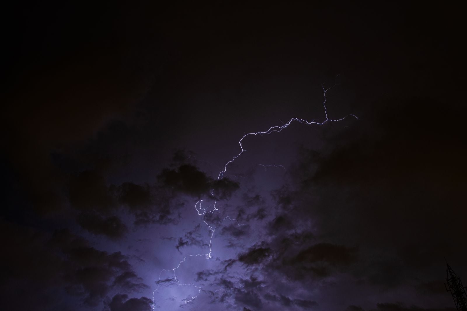
A bolt the length of a country
Most lightning is small. A typical flash lasts under a second and covers less than 16 kilometres of sky. The Mississippi megaflash was something else entirely — a channel of ionised air roughly forty-eight times longer than a garden-variety bolt, sustained for more than seven seconds, the same span it takes to read this sentence out loud slowly.
Laid on a map of the United States, the 768-kilometre track did exactly what it did: light up three states at once.
The core of that channel reached temperatures near 30,000 kelvin — roughly five times hotter than the 5,778 kelvin surface of the Sun. That heat is what makes the air along the bolt expand faster than the speed of sound and slam back together as thunder. A flash 768 kilometres long produces thunder that no single listener will ever hear in full; the rumble at one end has faded to nothing before the far end even reaches you.
How you measure a bolt from space
The instrument that caught the flash was the Geostationary Lightning Mapper aboard NOAA’s GOES-16 satellite, a near-infrared optical detector that stares continuously at the Western Hemisphere. It looks for the faint pulse of light that escapes the top of a thundercloud when a channel of plasma ignites inside it.
Ground-based lightning networks work by triangulating radio emissions from strikes. They are excellent at pinpointing where a bolt hits the earth, and hopeless at tracing what happens between cloud tops. Only from geostationary orbit can a single flash be watched from end to end as it snakes across hundreds of kilometres of anvil cirrus. As Business Insider reported when the record was announced, the 2020 flash was reconstructed frame by frame from the satellite’s optical stream.
According to the WMO announcement, officials noted that environmental extremes demonstrate both nature’s power and advances in detection technology, with even greater extremes likely to be discovered as measurement capabilities improve.
He was right within five years.
The storm that made it
Megaflashes need a very specific kind of weather. They form inside mesoscale convective systems — enormous, organised clusters of thunderstorms that can span several hundred kilometres and last well into the night. The anvil of such a system is a flat, spreading shelf of ice crystals at the top of the troposphere, sometimes eleven or twelve kilometres up, and it acts as a conductive highway.
Charge accumulates unevenly across that vast ceiling. When a discharge starts, it can propagate horizontally through the anvil for hundreds of kilometres before finding a way to neutralise. On 29 April 2020, the storm complex sprawled along the central Gulf Coast, and the anvil stretched wide enough to give one flash the runway it needed.
Cloud-to-cloud flashes of this scale rarely threaten anyone directly because they never reach the surface. The greater hazard is what they signal: a storm system organised on a continental scale, capable of producing tornadoes, hail, and the more familiar cloud-to-ground strikes.

Dethroned by a bolt from 2017
The 2020 record did not last. In 2025, a team led by Michael Peterson of the Severe Storms Research Center re-examined GOES-16 archives from October 2017 and found a flash that had been overlooked in the original analysis of that storm. It stretched approximately 828 kilometres — 515 miles — from eastern Texas through Oklahoma and Arkansas into Missouri.
The WMO certified the new mark. FOX Weather noted that the 2017 flash was nearly 61 kilometres longer than the Mississippi bolt, and researchers have noted that studying extreme lightning events is challenging because they push observational limits, with geostationary satellite measurements representing a significant technological advancement in detection capabilities.
The 2017 record also crossed a mesoscale convective system along the Gulf Coast ahead of a frontal boundary. The pattern is now familiar to the researchers hunting these events: same corridor, same storm morphology, same anvil-highway physics.
As the Biloxi affiliate WLOX reported when the news broke locally, the researchers were careful to add that megaflashes are not new — the satellites are simply better at catching them.
Hotter than the Sun, for a fraction of a second
The Sun’s photosphere sits at about 5,500 degrees Celsius. The core of a lightning channel briefly hits around 30,000 kelvin, or roughly 29,700 degrees Celsius. That temperature exists for only a few tens of microseconds inside a channel a few centimetres wide, but along a 768-kilometre bolt it is repeated end to end, a filament of star-hot plasma laid briefly across a continent.
The comparison is not rhetorical flourish. Lightning channels are hotter than the visible surface of any main-sequence star cooler than an early A-type. If you could isolate a metre of that channel and hold it steady, it would radiate like a slice of stellar atmosphere.
What keeps lightning from vaporising the sky is duration. The plasma cools within milliseconds as the current dies, the channel collapses, and the surrounding air rushes back in with the shockwave heard on the ground as thunder.
Why the American South keeps setting these records
Both the 768-kilometre and 828-kilometre megaflashes occurred in the same broad geography: the storm corridor that runs from the southern Plains across the Gulf Coast. The reasons are structural. Warm, humid air from the Gulf of Mexico feeds convection almost year-round. Continental fronts spilling south from the Rockies collide with that moisture to build mesoscale convective systems hundreds of kilometres wide. The anvils of those systems spread flat and far, giving flashes room to run.
The Gulf Coast and Florida Peninsula concentrate a disproportionate share of lightning activity in the United States.
Similar megaflash hotspots exist over the La Plata basin in South America and the Congo basin in central Africa.
What the satellites still miss
The Geostationary Lightning Mapper sees the tops of storms. It cannot see through thick cirrus into the charge structure beneath, and it undercounts weak flashes in the daytime when solar glare washes out the optical signal. Peterson’s team has argued that the largest flashes yet observed are probably not the largest that occur — only the largest that have been resolved so far.
Europe’s Meteosat Third Generation Lightning Imager, which began returning data in 2023, is extending the same continuous coverage over Africa and the Atlantic. China’s Fengyun-4 satellites carry a similar instrument for East Asia. Within a few years, most of the planet’s known megaflash zones will be under permanent optical watch from geostationary orbit.
The physics places a ceiling somewhere. A flash cannot outrun the anvil it travels through, and the largest mesoscale convective systems top out around 1,000 kilometres across. That gives a rough theoretical maximum in the neighbourhood of 1,000 kilometres for a horizontal flash, though nobody has observed one yet.
A ribbon of plasma, briefly
The Mississippi flash existed for 7.39 seconds. In that window, a filament hotter than the surface of the Sun crossed three American states, released enough energy to power a small town for months if it could be captured, and produced thunder that took nearly forty minutes to finish rolling from one end of its path to the other at the speed of sound.
Almost no one saw it as a single event. The people beneath it saw ordinary lightning in an ordinary spring storm — a flicker on the horizon, a rumble, the sound of rain on a Wednesday afternoon. The bolt was only ever whole from 35,786 kilometres up, in the eye of a satellite watching the sky pulse the way a heart beats.
It held the record for five years. Somewhere in the archives, another one is probably already waiting to be found.